3D Scanning
digital infrastructure mapping
3D Laser Scanning
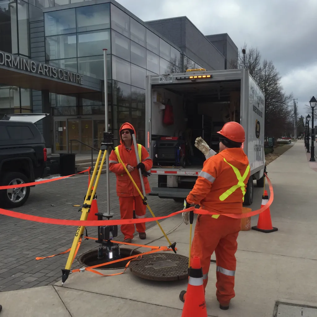
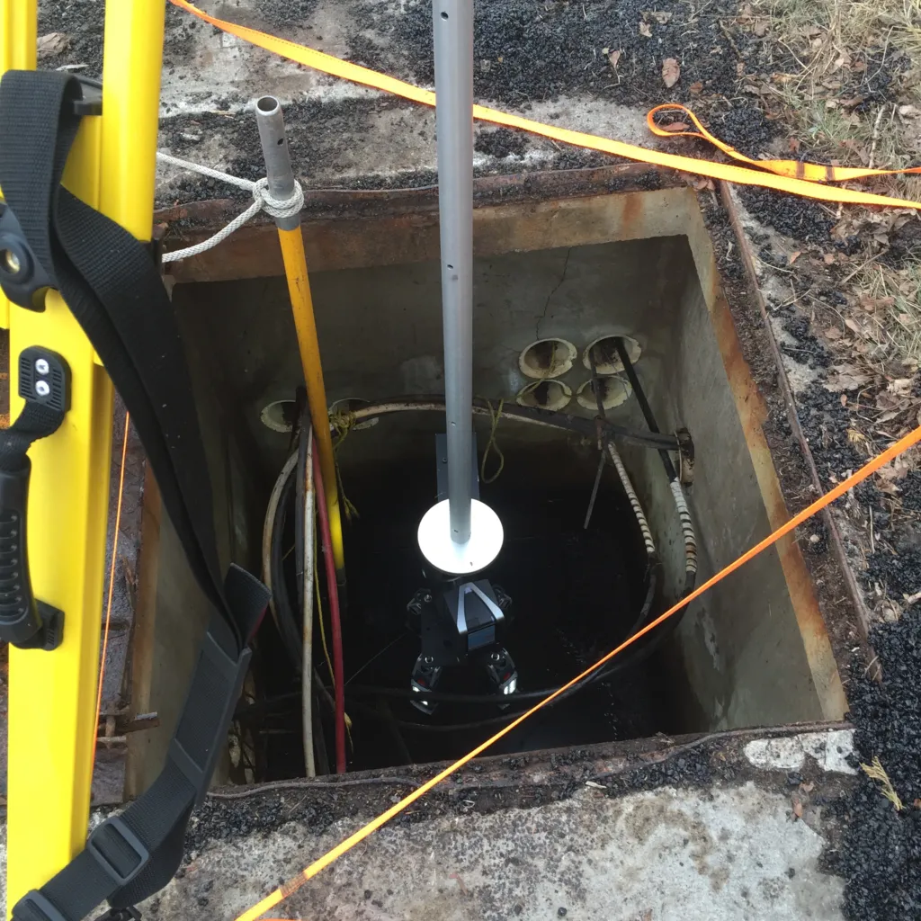
3D Laser Scanning provides precise, non-contact digital measurement of utility assets, equipment, and environments. The process captures millions of data points to create a highly accurate 3D digital model, supporting better planning, engineering coordination, and asset documentation.
This method is ideal for substations, underground structures, manholes, electrical rooms, and other areas where accurate spatial data is essential.
Applications
3D Scanning is used to support:
-
Engineering and design collaboration
-
Maintenance planning and change management
-
Asset condition documentation
-
Compliance and record-keeping
-
Pre- and post-maintenance comparison
-
Visual review for management and stakeholders
Technology Used
DDP Technology uses the FARO Focus X130 laser scanner to capture high-resolution 3D datasets with precision and speed.
-
Non-contact and non-destructive
-
Captures detailed spatial geometry and conditions
-
Suitable for outdoor and indoor environments
Data Processing Workflow
Scan Registration
Multiple overlapping scan point clouds are combined using specialized registration software. This produces a single, highly accurate composite 3D point cloud model.
Export Formatting
The finalized project is exported as an Autodesk Recap Project, enabling easy integration with CAD, BIM, and engineering workflows.
Visualization Tools
-
SceneLT®
-
Autodesk Recap®
These tools allow project teams to navigate the digital environment, take measurements, and review asset conditions without revisiting the site.
Support Accurate Planning and Smart Maintenance
Book a 3D Scanning assessment and modernize how your infrastructure is documented and managed.